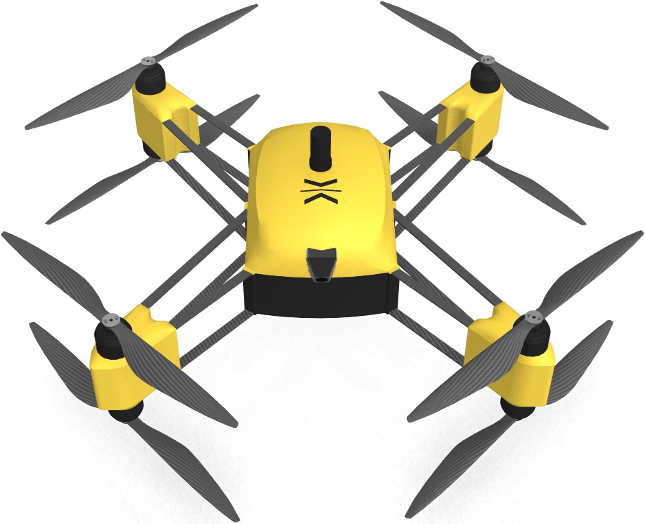
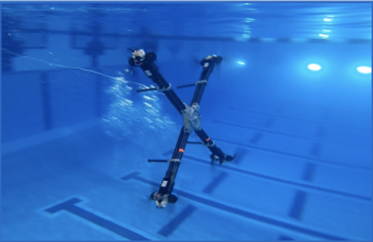
Babiator
Our smallest model, ideal for short range missions in small, hard to reach places.
| Footprint (stored) |
1ft x 1ft x 0.25ft |
| Footprint (deployed) |
1ft x 1ft x 0.5ft |
| Weight |
5lbs |
| Endurance |
up to 25 mins |
| Range |
up to 3.75 miles |
| Payload |
2lbs |
| Radios/Frequency |
L-Band, S-Band, C-Band (selectable radio/frequency) |
| Max Flight Speed |
40 mph |
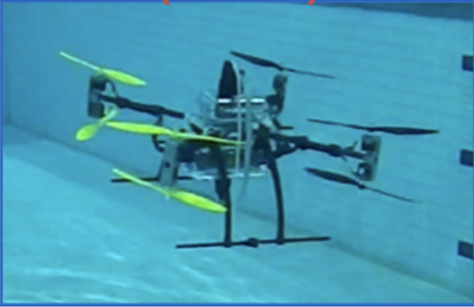
Naviator
Our most popular model, incredibly versatile and ideal for most missions.
| Footprint (stored) |
2ft x 2ft x 1ft |
| Footprint (deployed) |
3ft x 3ft x 2ft |
| Weight |
20lbs |
| Endurance |
up to 50 mins |
| Range |
up to 5 miles |
| Payload |
5lbs |
| Radios/Frequency |
L-Band, S-Band, C-Band (selectable radio/frequency) |
| Max Flight Speed |
40 mph |
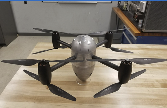
Naviator XL
Our most popular model, incredibly versatile and ideal for most missions.
| Footprint (stored) |
4.5ft x 4.5ft x 2ft |
| Footprint (deployed) |
6ft x 6ft x 3ft |
| Weight |
54lbs |
| Endurance |
up to 70 mins |
| Range |
up to 10 miles |
| Payload |
15lbs to 70lbs (different variants) |
| Radios/Frequency |
L-Band, S-Band, C-Band (selectable radio/frequency) |
| Max Flight Speed |
40 mph |