Breakthrough
in Exploration

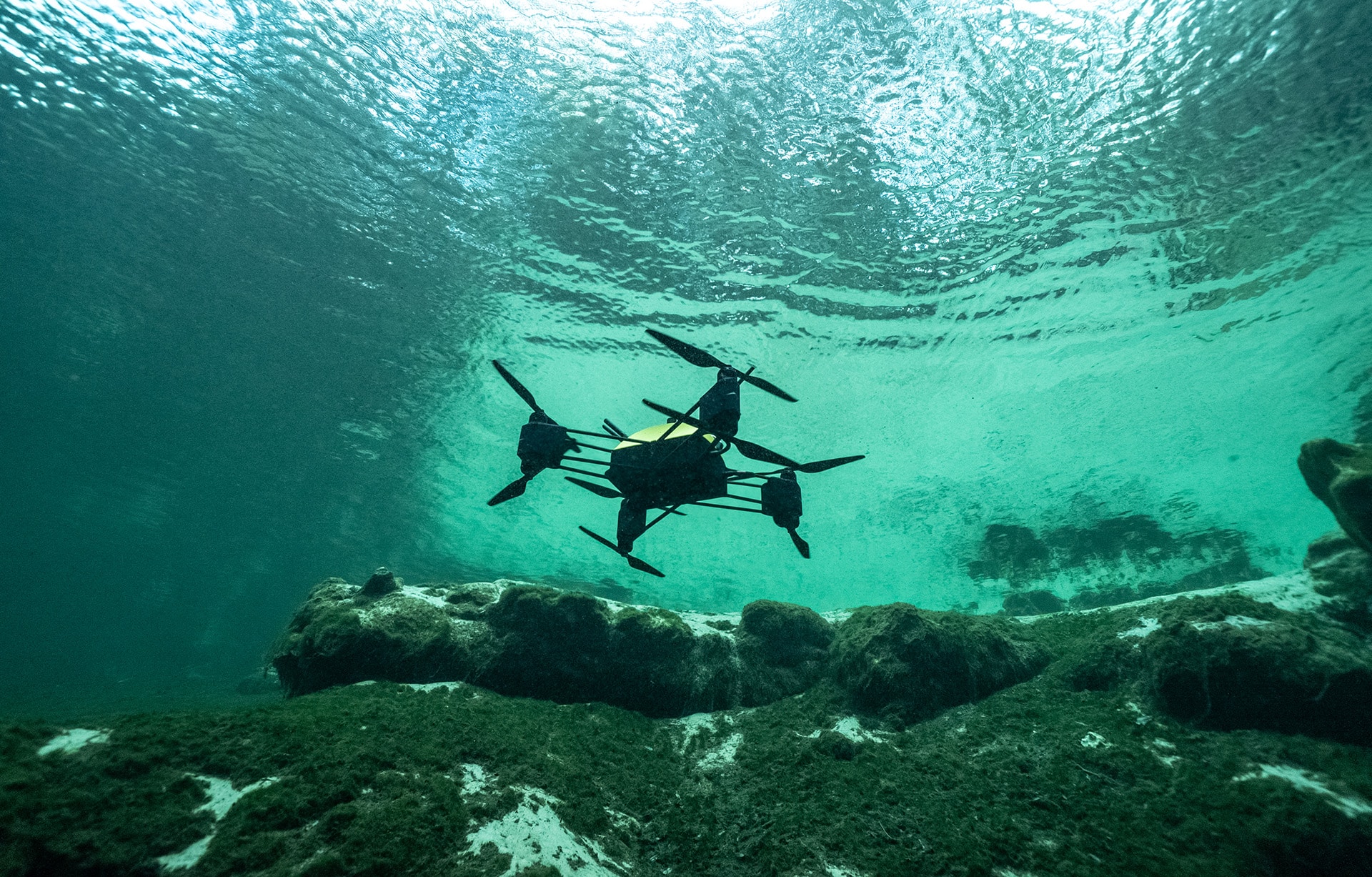
Finding underwater oil and gas deposits through sonar or inspecting the seafloor to sight an offshore wind turbine are activities that traditionally required large-scale submersibles, dive teams, full submarines, or a combination.
All these carry high costs, can be relatively slow, and are subject to favorable sea conditions.
Energy companies can replace all of this initial inspection infrastructure with The Naviator, offering real-time mapping through a combination of infrared, sonar, and video up to 1000 feet in depth over a range of up to 10 miles from the controller.